Capital Ring: South Kenton to Hendon
London. Mon 27 Aug 2018
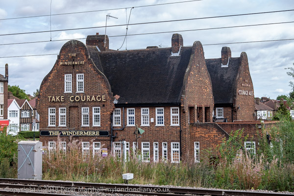
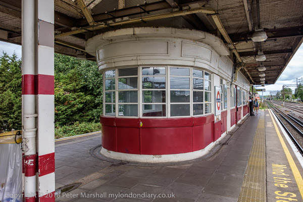
The Windermere pub from South Kenton Station platform
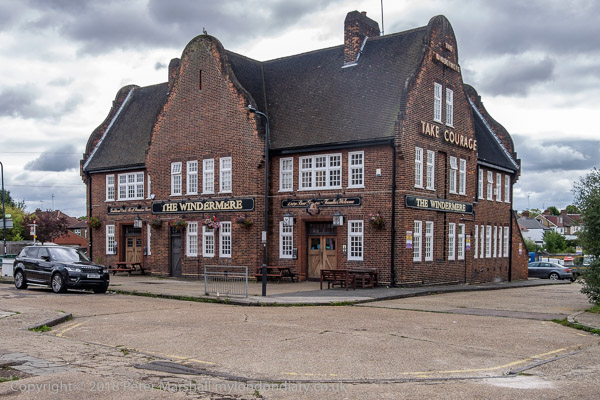
and at ground level
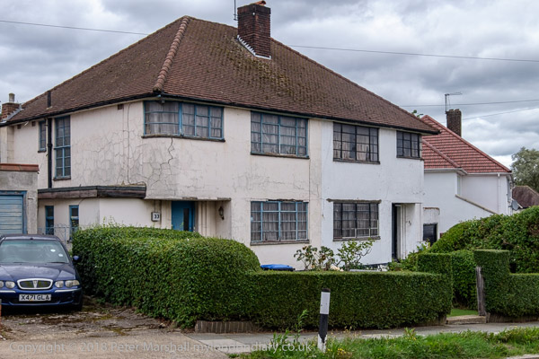
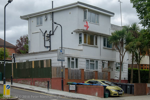
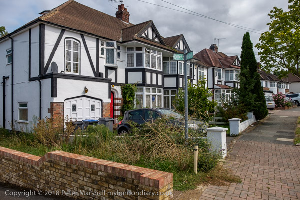
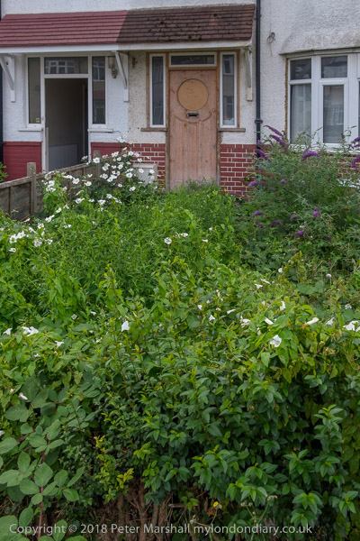
Most of the housing in the area also dates from the 1930s, some still
in its original condition
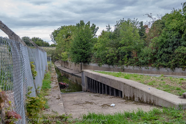
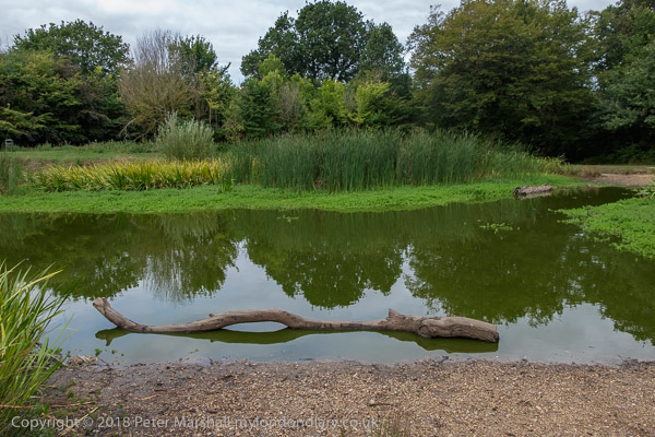
The Wealdstone Brook, a tributary of the River Brent
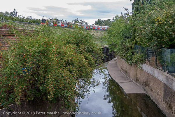
and the Jubilee Line
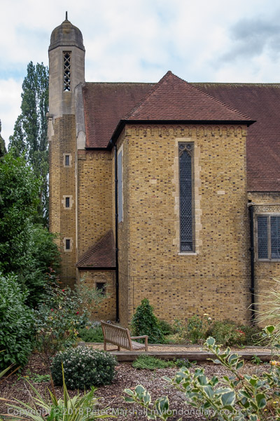
The Church of the Ascension, architect J Harold Gibbons, 1957 The
first service was held here in a marquee in 1937
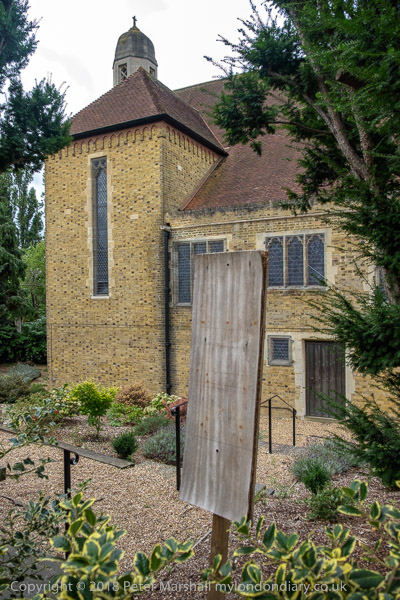
when the estate was built, but war delayed the building for 20 years
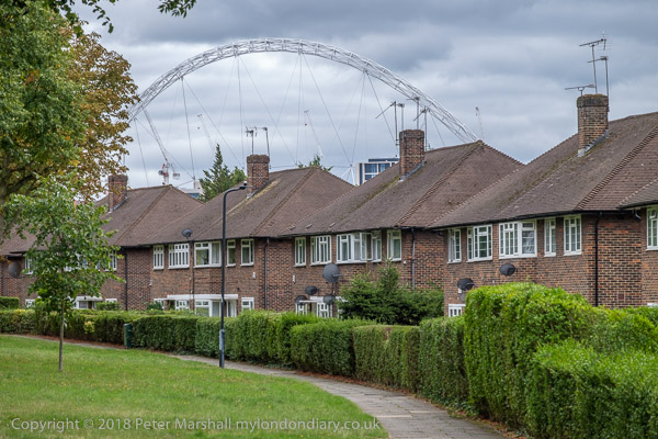
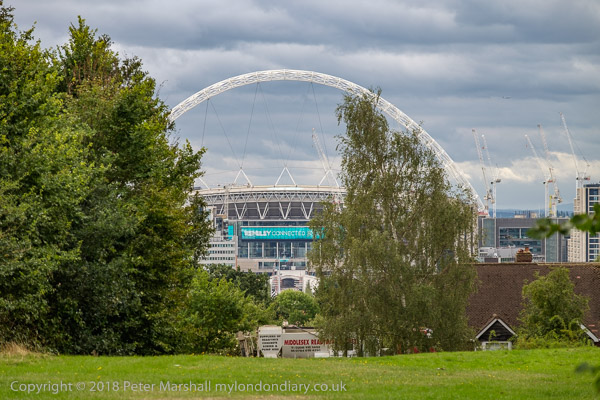
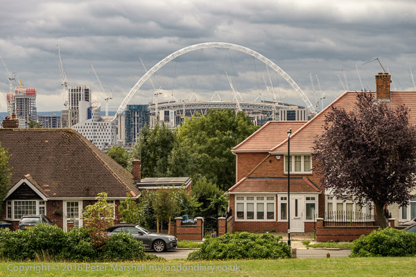
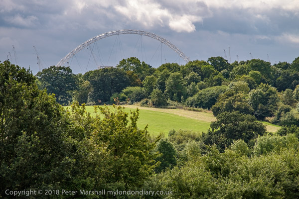
The Wembley Arch, just under a mile away, is visible above the houses
The Avenue
more 1930s housing on Uxendon Hill. Our path leads off to the left
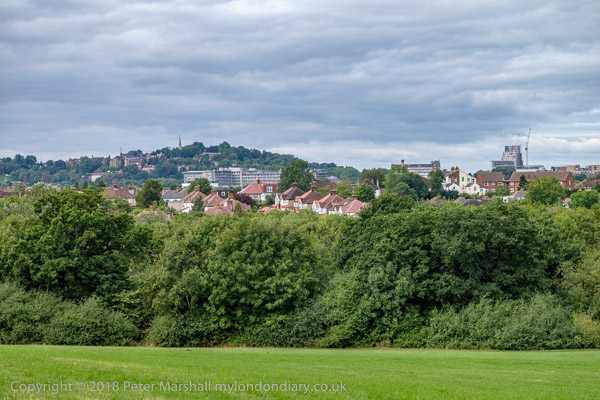
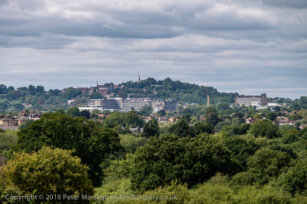
Harrow from Barn Hill
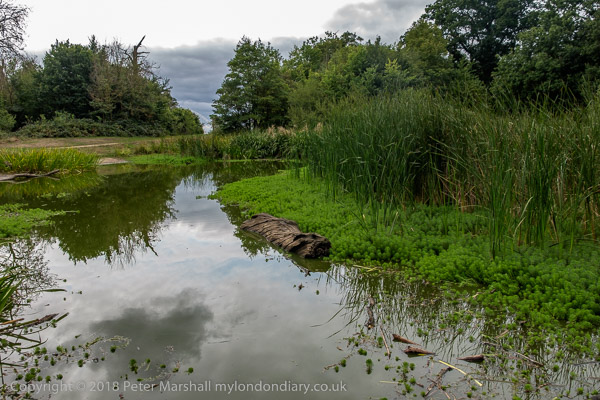
The pond on top of Barn Hill. The whole estate here stretched down
to Wembley Park and was landscaped
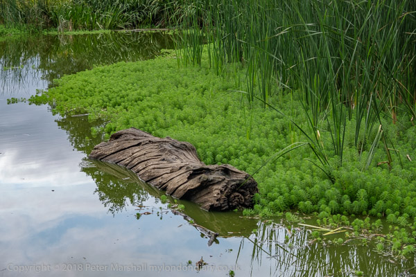
by Humphrey Repton. Most is now covered by housing from the 1920's
and 30s and Wembley Stadium etc
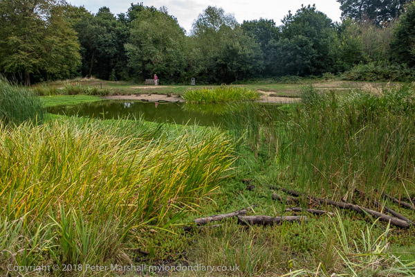
The view from Barn Hill towards Wembley
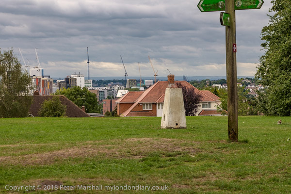
and the trig point
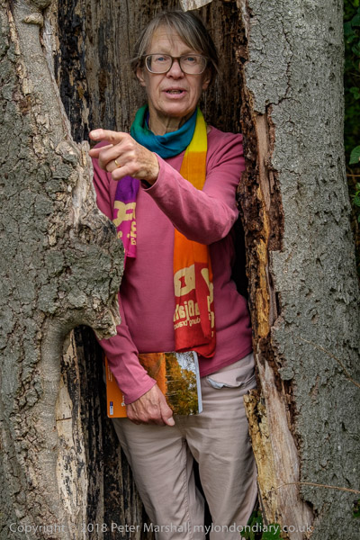
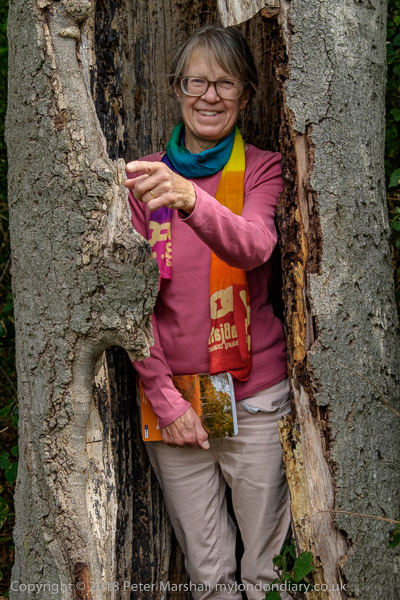
Hiding in a tree
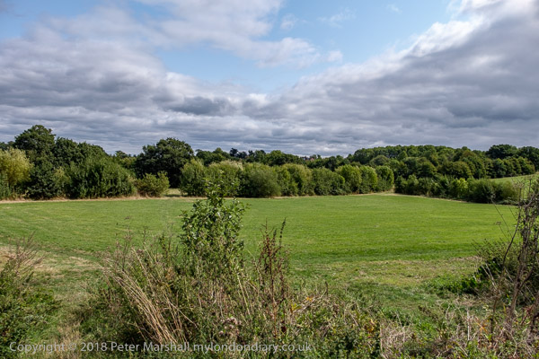
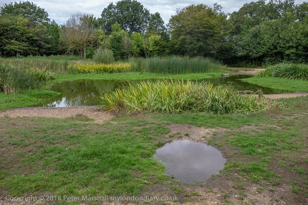
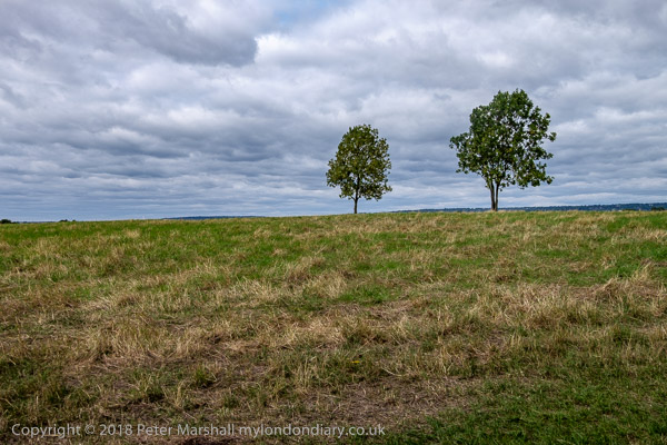
North of Barn Hill is Fryent Country Park, its fields enclosed by
hedges
The fields are still used for hay-making
The other high point, in the north-east of Fryent Country Park is
Gotford's Hill. The instructions for the walk in the
Captial Ring book are fairly poor, but following the map and the occasional
way mark we found the correct exit
The walk passed through more suburban streets
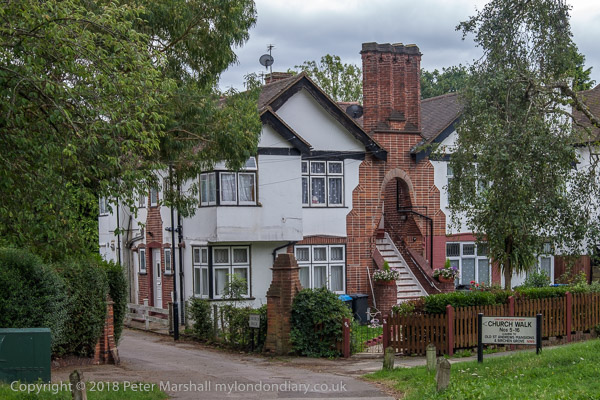
to Church Walk
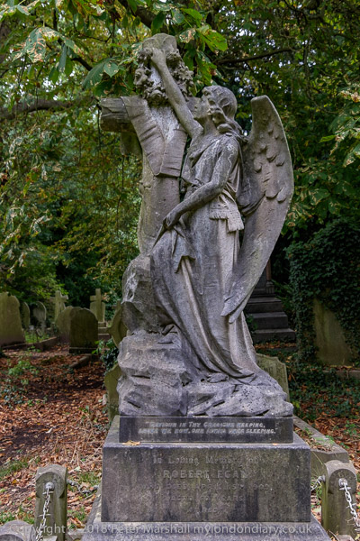
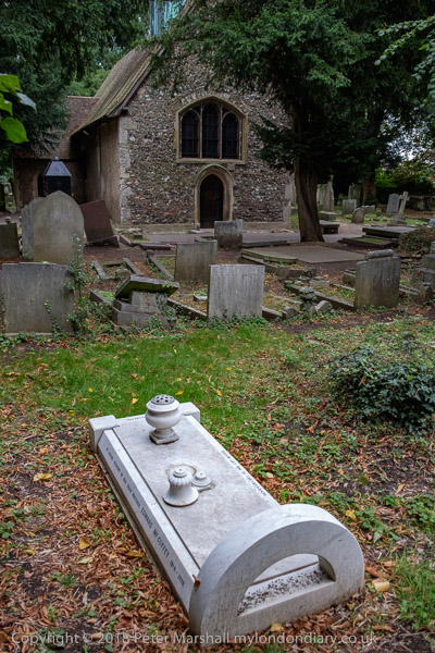
and the cemetery around the old St Andrew's Church